Charleston Heights, Las Vegas: Neighborhood Guide
Updated by Dr. Jan Duffy
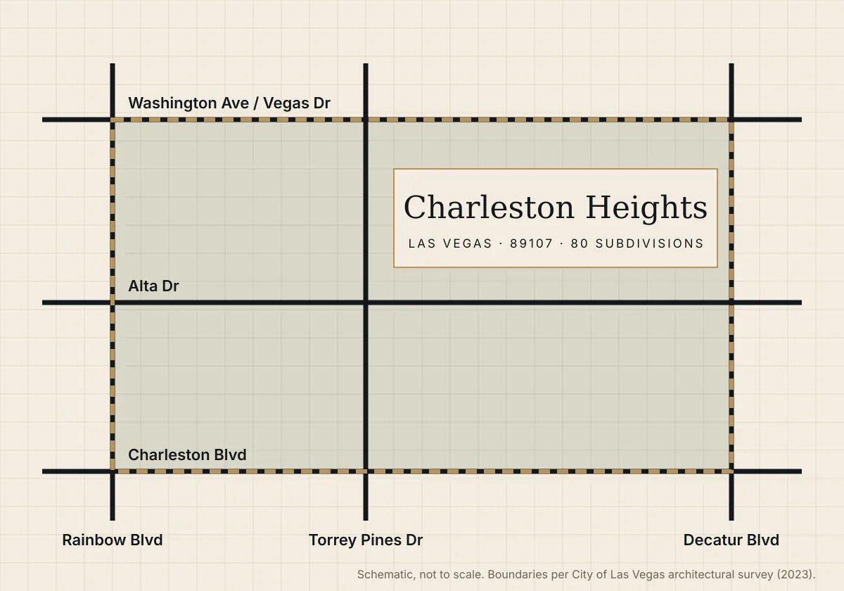
Charleston Heights is a mid-century Las Vegas neighborhood in ZIP 89107, made up of 80 subdivisions built from 1952 onward. It sits between Rainbow and Decatur Boulevards, and between Charleston Boulevard and Washington Avenue.
Charleston Heights homes for sale now
Loading current Charleston Heights listings…
Charleston Heights boundaries
The City of Las Vegas architectural survey defines the area by Washington Avenue, Vegas Drive and Meadows Lane on the north; Decatur Boulevard and Bedford Lane on the east; Charleston Boulevard and Evergreen Avenue on the south; Torrey Pines Drive and Rainbow Boulevard on the west.
History of Charleston Heights
1952: the largest housing plan in Nevada
In September 1952, developer Ernest Becker proposed 1,400 homes on land along the city's western edge. Early homes averaged about $10,000 with low down payments.
1950s–1960s: the builders and the Parade of Homes
Becker built in phases, and local builders added tracts through the 1960s. Models ranged from 988-square-foot three-bedroom homes to 1,650-square-foot tri-levels, many with single-car garages or carports.
2023: the city's architectural survey
The City of Las Vegas commissioned a survey of the neighborhood to weigh historic district potential. It flagged more than a hundred homes as preservation candidates.

Curious how history affects value on your street? Book a free 15-minute market call →
What kind of homes are in Charleston Heights?
Single-story ranch homes dominate: board-and-batten or stucco walls, low-pitched roofs, and wide lots. Tri-levels and two-story homes appear in the later tracts. Typical sizes run 950 to 1,950 square feet, built 1955 to 1971.
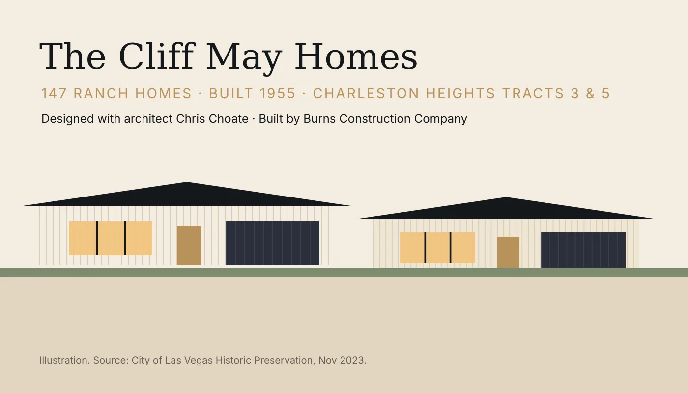
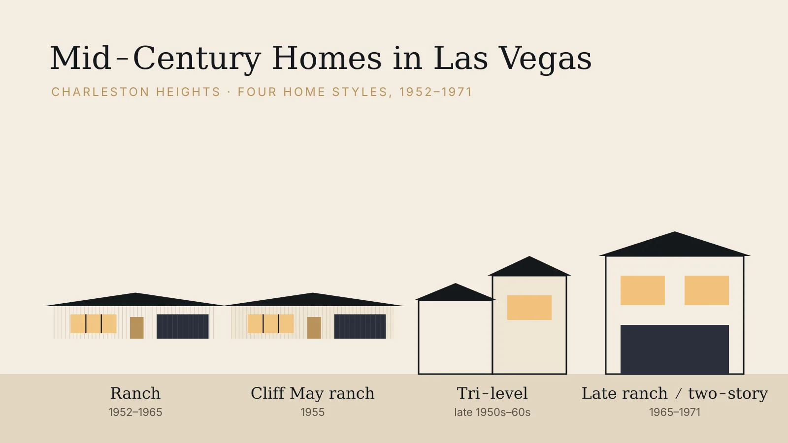
Mid-century home styles → · The Cliff May homes →
Arts, parks and everyday places
Charleston Heights Arts Center
The city-run Charleston Heights Arts Center, 800 Brush St., Las Vegas, NV 89107 houses the 365-seat Jeanne Roberts Theater, a gallery, and classes in dance, drama, music and visual arts.
Getting around
Charleston Boulevard, Rainbow Boulevard and Decatur Boulevard connect to US-95 and Summerlin Parkway. Summerlin is about 15 minutes by car and Harry Reid International Airport about 20 minutes, outside rush hour.
Schools by name
Recent MLS records for the Charleston Heights subdivision list Rose Warren Elementary, Frank F. Garside Middle School and Bonanza High School. Zoning changes by street, so check each address with the Clark County School District.
Sources: City of Las Vegas, "Where the Living Is Easy: An Architectural Survey of the Charleston Heights Neighborhood" (2023); City of Las Vegas Parks & Facilities.